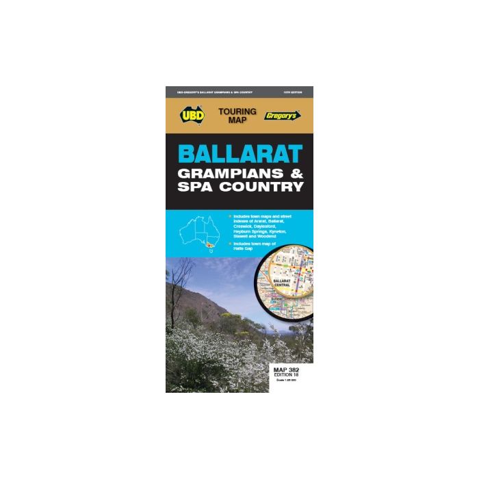
Ballarat Grampians & Spa Country Map 382 18ED
$6.24
The latest edition of the Ballarat Grampians & Spa Country Map has been fully revised and updated. It includes street level mapping and street index for Ballarat on one side. On the reverse side is a regional touring map which covers Harcourt & Campbells Bridge in the north, Cressy in the south, Romsey in the east and Wartook and Dunkeld in the west.
It also includes maps & indexes for Ararat, Creswick, Daylesford Hepburn Springs, Kyneton, Stawell and Woodend and a map of Halls Gap. There is also a list of regional touring attractions.
This handy fold out map is an essential tool to have at hand whether you are living in or touring the region.
Additional Information
| SKU | 93297 |
|---|---|
| RRP | 11.99 |
| Restricted Sales | FIRM SALE |
| Status | Non Returnable |
| APN | 9780731932979 |


